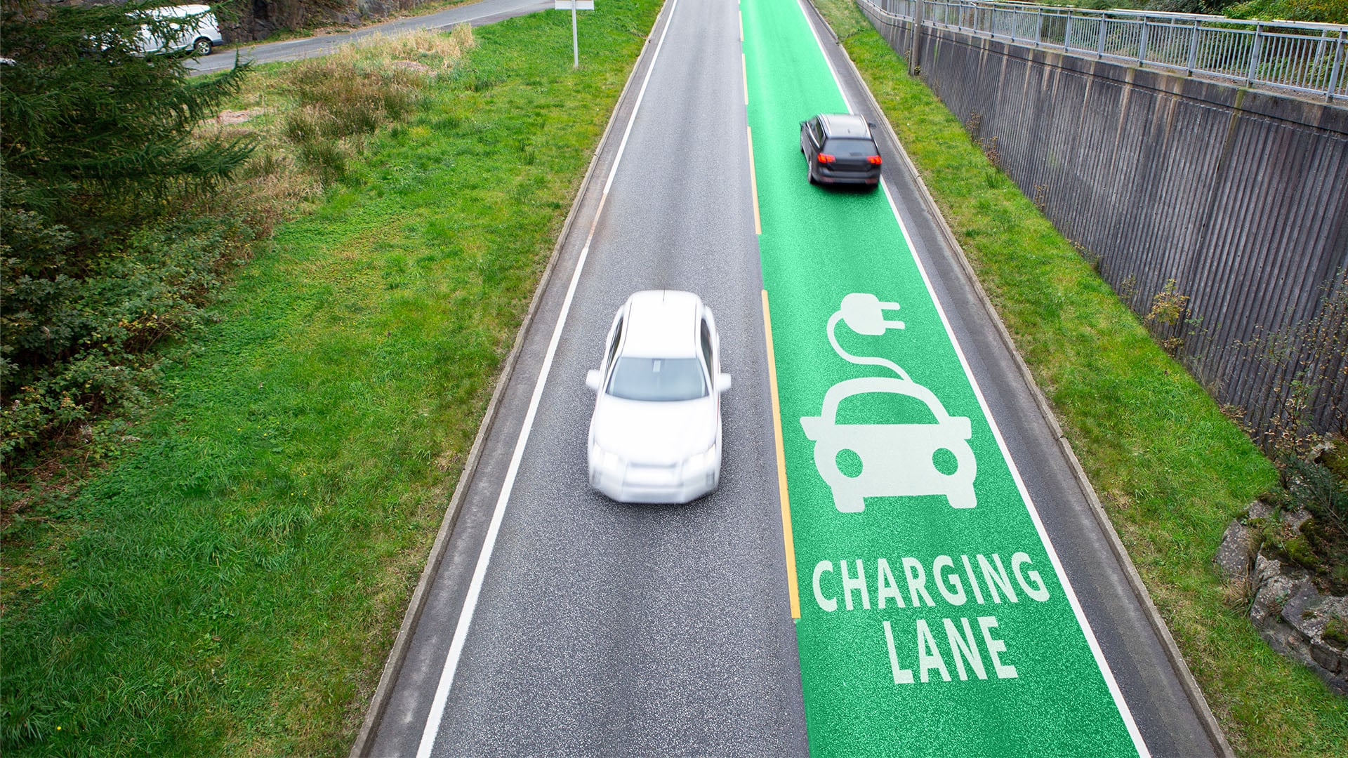
To improve life for its citizens and overcome the limitedness of its land, Singapore has its eye on the underground. It has launched a research-to-application initiative that uses digital tools and data integration to provide reliable information on subsurface utilities for effective planning and land administration. The aim is to utilize this space for the construction of utilities and infrastructure and support future plans.
Singapore is globally classified as a city-state, which has many administrative and geographical denotations, including a small geographical area, lack of land, and very limited space for buildings and facilities. With about 5.6 million inhabitants, and an area of just over 700 square km, Singapore is one of the world’s most densely populated countries (over 7,800 people per square km).
Though the city-state has successfully dealt with this challenge throughout its history, it keeps looking for new solutions to meet its ever-growing space needs and urban development requirements, while saving the land above ground for the better living of citizens.
Singapore’s underground space is now home to extensive infrastructure that includes train lines, utility networks, pedestrian walkways, and fuel and ammunition storage units. This space is bound to become more congested in the future, leading to increased challenges in its planning and management to accommodate current and future needs.
This makes any expansion of subsurface development a sensitive process that requires reliable data about the location of underground infrastructure. It also makes data quality a critical issue. Various stakeholders have already seen that much of the information currently available is unreliable, and this has repeatedly caused a waste of time, money, and opportunities.
To remedy the situation, there was an urgent need to better plan and manage the underground space and be ready to support Singapore’s future plans. In 2019, the Urban Redevelopment Authority unveiled a draft master plan that provided a framework for developing subsurface space in specific areas over the next 10 to 15 years. Then Singapore Land Authority, in cooperation with the Singapore-ETH Centre for environmental research and the City of Zürich, Switzerland, initiated the Digital Underground Project[SA1] as an integrated research-to-application initiative.
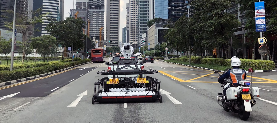
Using laser scanning and advanced data modeling, the project includes research into digital twins for the underground to understand the multiple dimensions of subsurface infrastructure. To ensure that the research meets the needs on the ground, the team analyzed the required information on Singapore’s underground utilities, as well as the mapping ecosystem currently in use in and beyond Singapore, such as conventional surveying tools, laser and photogrammetry, Ground Penetrating Radar (GPR), RFID markers, and gyroscopic mapping. The team also conducted a series of pilot studies to assess the feasibility of different technologies.
The project has three phases and is currently in the second phase. The objective of the first phase was to define the various dimensions of the problem. The captured data was modeled and integrated with data from other sources, which led to new insights and lessons learned. This paved the way for developing a roadmap containing strategies and recommendations for creating reliable, high-quality maps of underground utilities.
The second phase involves looking into the requirements of a utility mapping ecosystem and examining the underground utility workflow. At this point, the team is working to build a reliable digital twin and lay the foundations for a sustainable utility mapping ecosystem that can support it. Accordingly, the team will propose instruments to help Singapore put its plans into action, including a framework for subsurface utility data governance; a proof of concept digital data management infrastructure; survey standards; and a framework for training and certifying surveying professionals.
At the end of the third phase, Singapore will have a nationwide map of subsurface utilities, combining all existing utility maps with new data. This will offer a significant push to its strategies and plans and may serve as an example for other places with dense populations and limited land.
References:
https://digitalunderground.sg/about-project