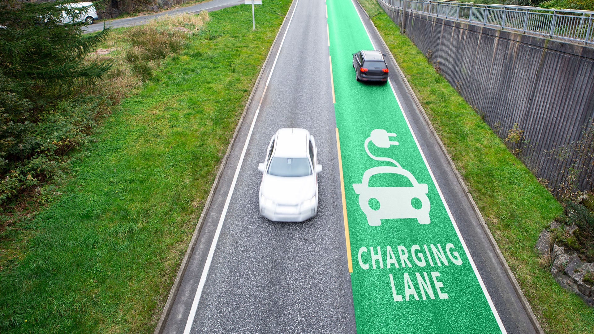
To improve planning and community engagement, The NSW Government is developing a digital twin of infrastructure in human communities and the adjacent natural environment. The aircraft will collect data for the government to provide to its citizens through a smart, easy-to-use platform that provides them with the information they need.
Planning requires a thorough study and careful analysis of all data and variables, This applies to any future project, Whether it’s making a machine or constructing a building, Where it is no longer enough to choose the land, All its details must be studied, and above, and underneath.
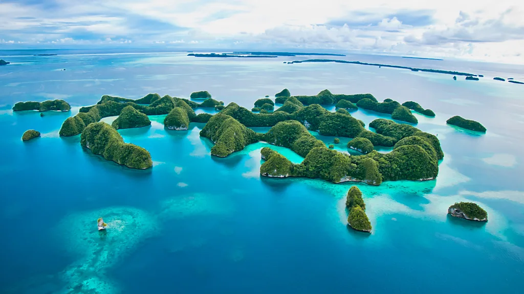
When talking at the level of cities and countries, City planners face daunting challenges in planning future projects that must meet standards that are becoming more rigorous and rigorous every day. As the world moves towards sustainable, safe and environmentally friendly cities. All this in light of the worrying acceleration of the effects of climate change and natural disasters such as earthquakes, floods and others, depletion of natural resources, Foremost among them is groundwater.
Because the design of any new architecture must take into account all these and other factors, There must be an affordable way to anticipate different scenarios and their outcomes. Hence, The idea of the digital twin was born, which refers to a hypothetical representation of the actual world with its physical elements, processes, relationships and behaviors, And combine all this with sophisticated automation that offers future forecasts.
In 2020, The Government of New South Wales has announced the allocation of nearly US$27 million from the Digital Transformation Fund budget to begin the construction of a digital spatial twin for both built infrastructure and natural areas. It will continue to expand on an annual basis.
Work has begun on the creation of virtual representations of 7 regions characterized by a high population growth rate, Through which a simulation of planned projects can be conducted, and to know its consequences on the population, the environment, traffic and other vital elements, Adjustments can then be made to the charts. The Bathhurst region was chosen to be the first regional center to have a three-dimensional model, It is one of the oldest locations in Australia.
To create a digital twin, A special camera collects multiple images of any object or location from different angles. These images then accumulate in overlapping layers thanks to complex computer systems that combine them with the pre-entered third and fourth dimensional coordinates. The result is a multi-dimensional simulation model that is highly detailed and accurate, The user can project different scenarios on him and see the results of each through visual equations based on simulation, machine learning and logical conclusions.
The government has chosen to share the digital twin with various interested officials, business owners and projects, and not even ordinary residents. Where spatial digital information can be accessed through an electronic platform or a smart application that allows its users to find information according to their needs and the places they specify, such as school or hospital, It is available for mobile phones, PCs and tablets.
In 2022 the project received the latest upgrade, The government is modeling gravity as a variable associated with the different distribution of underground material masses, At the same time, it plays an essential role in infrastructure projects, natural resources management and natural disaster forecasting.
To develop this model, The project team used atmospheric measuring devices that calculate the Earth’s gravitational field with high accuracy superior to global navigation satellite systems. The planes fly at an altitude of 300 meters over populated areas versus 160 meters above other areas. This is recommended by the Civil Aviation Safety Authority’s guidelines, which also require that these operations do not affect people, animals or infrastructure. It should not include photographing sites, including property and individuals. On every trip, The aircraft travels a distance of two kilometers or a little more, To observe natural variations in the natural gravitational force of the Earth.
This data covers more than 800,000 square kilometers up to 50 kilometers off the coast of New South Wales. It is planned to be added to data previously collected through decades of gravity and earth science efforts. which, albeit with low spatial resolution, provide valuable information obtained through fieldwork, satellite and aircraft imagery, That was until 1992.
The new model adopted fixed measures of gravity, In order to enable the use of this data over and over again, It will be available free of charge on the open data platform, National Earth Science Database, and the electronic portals of the Australian Society of Geographical Sciences.
The new model is characterized by greater ease and accuracy in collecting terrain and water flow data, This is called “real-world highs”, Finally, it provides researchers with the accurate and reliable foundation on which digital twins can build. Now and in the future.
The NSW government estimates the move will save more than $250 million over the next decade. Smart space projects are expected to save about $450 million over the same period.
Digital twins technology has a wide range of prospects in the fields of engineering, planning, monitoring, infrastructure construction, sustainability, emergency response, natural disasters, climate change, community engagement, decision-making, and testing new ideas and experiences.
It can be said that this concept allows the government to combine past, current and future infrastructure projects into one platform to make informed decisions that maximize the benefit of society.
References:
https://www.nsw.gov.au/media-releases/bathurst-becomes-first-regional-centre-digital-twin
https://www.nsw.gov.au/media-releases/world-leading-spatial-digital-twin-launched-nsw
https://www.nsw.gov.au/media-releases/digital-twin-revolutionises-planning-data-for-nsw
https://www.nsw.gov.au/customer-service/media-releases/new-gravity-model-to-transform-data-for-nsw
https://www.spatial.nsw.gov.au/what_we_do/projects/live_nsw_gravity_model