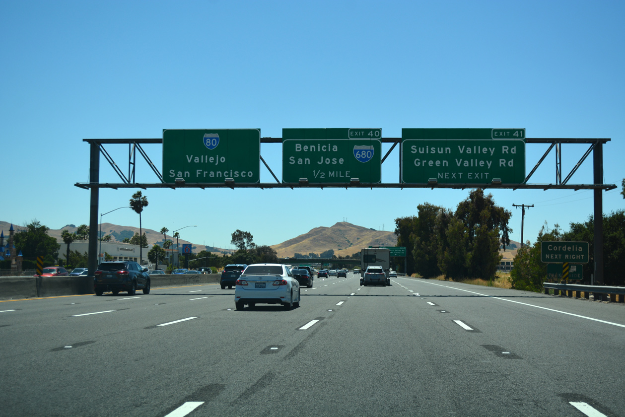
The Interstate 680 highway in California was ranked as the fourth-worst commute in 2017 for the second year in a row, according to the annual most-congested list compiled by the Metropolitan Transportation Commission. This highway falls under the jurisdiction of Contra Costa County, located east of San Francisco with a population exceeding 1.1 million residents in 19 cities. The county experienced remarkable growth due to its strategic location, resulting in increased congestion and degradation in travel times, a decline in the reliability of public transport services, and a rise in traffic accidents. In an attempt to reduce these effects, the Contra Costa Transportation Authority (CCTA) has collaborated with active partners in the area and local entities to develop the “integrated systems solutions” approach, dubbed Innovate 680, which involves several projects aimed at meeting the challenges of mobility on the highway.
One of the projects employs innovative operational strategies, including Integrated Corridor Management (ICM) and Adaptive Ramp Metering (ARM), which are advanced equipment and technologies or what is known as Intelligent Transportation Systems (ITS). These strategies provide operational data that are used to improve the transportation system through the establishment of a data center at the county level to offer real-time information on road conditions. This allows for the traffic lights to be adjusted, signal systems that measure traffic in corridors to be regulated, and speed signs to regulate traffic and enhance highway performance. These systems can also learn from previous congestion data, predict traffic, and forecast necessary adjustments. In order to resolve the issue of increasing commuting times through public transportation, the program employs a wireless network to hold traffic through ramp meters to let buses pass easily. This is done once the traffic speed drops below a certain level.
Furthermore, CCTA plans to improve vehicle-to-infrastructure (V2I) and vehicle-to-vehicle (V2V) communications through dedicated short-range communications (DSRC) to deal with connected and autonomous vehicles. It is possible to connect to ramp meters and provide the data that can be used to facilitate mobility and reduce traffic.
The project also uses mobility data management technology designed to reduce the use of single-occupant vehicles by supporting, regulating, and encouraging mobility using other means of transport. On another note, the project includes the development of a mobile app that provides information about mobility options to users and helps them make wise decisions based on the available information about their selected means of transport, travel time, and cost per trip. The app will also support transportation options that reserve vehicles, like Uber and Lyft, and will promote ride-sharing using bicycles and public transport.
The ultimate goal of the I-680 traffic crises management project is to increase throughput from 2,000 vehicles per hour per lane to 3,300 in the next 15 to 20 years, in addition to improving safety and preventing accidents, reducing travel time, achieving energy efficiency, and improving air quality by reducing greenhouse emissions. The government announced that parts of the project will begin their operations in 2021.
Resources:
1) https://www.business.att.com/content/dam/attbusiness/guides/att-network-of-tomorrow-government-guide.pdf
2) https://ops.fhwa.dot.gov/fastact/atcmtd/2017/applications/contracosta/project.htm
3) https://ccta.net/projects/innovate-680/
4) https://www.pleasantonweekly. com/news/2018/10/29/afternoon-i-680-commute-toward-pleasanton-ranks-as-4th-worst-in-bay-areas